Prepare for an Impactful Winter Storm This Weekend
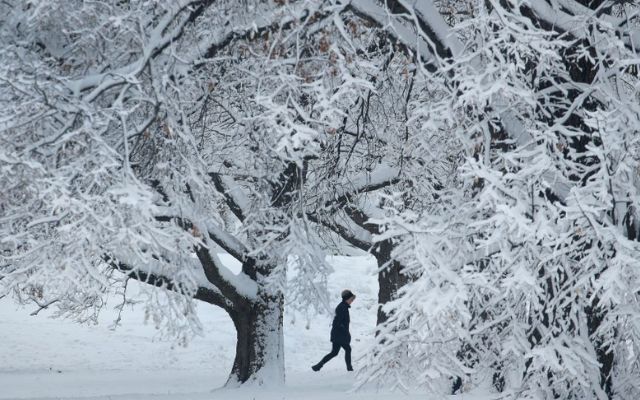
A powerful winter storm system is forming over the weekend, which may affect transport, even locally, as ice and snowfall. Details are starting to emerge, so be sure to check for detailed time and precipitation information.
Models begin to show ice starting early Saturday in Kansas, but impacts begin to ramp up late Saturday through Sunday and possibly into Monday as well. These models will still fluctuate, so timing and precipitation type may still change for your area.

Impactful winter storm this weekend
Some areas may have greater ice accumulations, leading to toppled trees and powerlines. Some of the most recent models have suggested a little northward migration of snow and ice.
Let’s start with the GFS model. It has the worst icing between Interstates 70 and 40. The most snowfall occurs approximately north of Interstate 70.
On the in-house model, it favors heavy snow around Interstate 80 and extends the icing hazard further north along the Interstate 70 corridor. Lots of changes are anticipated before the weekend. So, stay updated with the most recent prediction.
![10 Health & Safety Precautions During Rainy Season [Be Careful]](https://admin.goweatherforecast.com/images/1732692097.png)


5 Comments
OPXXUZJg
e
OPXXUZJg
e
OPXXUZJg
e
OPXXUZJg
e
OPXXUZJg
e
Leave a Comment
Your email address will not be published. Required fields are marked *